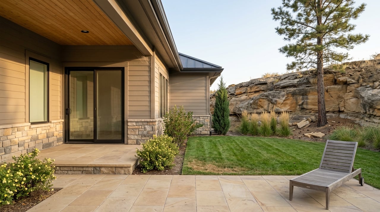
On Thursday, March 19, a West End resident walked her dog along the trail below the Rimrocks off Ben Hogan Lane, the same route half the West End has used for decades to get up onto the rims without driving to Zimmerman Park. Four days later, the Billings City Council voted to let Yellowstone Country Club rezone that ground for houses.
If you've walked that stretch, you probably assumed it was park land the same way Zimmerman Park is park land. It wasn't. The trail sits on roughly six to seven acres owned outright by Yellowstone Country Club, carrying a zoning designation, Public 1 for Parks and Open Space, that made it function like a park without ever being one. That distinction is the whole story here, and it's the reason a trail people have used since before some of their kids were born can disappear with a single council meeting.
The Zoning Line Everyone Assumed Was Permanent
P1 zoning tells you how land can be used right now. It does not tell you who owns it, and it does not stop the owner from asking the city to change it. That's exactly what Yellowstone Country Club did this spring, requesting a shift from P1 to N3, Suburban Neighborhood Residential, on land tucked among Ben Hogan Lane, Billy Casper Drive, and Chick Evans Lane inside the Yellowstone Club Estates subdivision.
One resident laid out what was actually at stake in a letter to the council before the vote. Two of the three parcels up for rezoning, she wrote, contain well-established trail systems that have been in continuous use for over 30 years, calling the land the last remaining open space under the lower rims in Billings. That last part matters for anyone picturing where else on the West End you could replicate this. There isn't another spot like it.
"I've raised three kids here and we were up on the rims all the time. They ride their bikes here, they walk here, they run here. So it's really used a lot, not just by our neighborhood but by the whole community."
That's a 37-year resident of the neighborhood, describing what the land has meant before the council vote made it a subdivision instead of a trailhead.
The Vote, and the Paperwork That Followed
According to YCC Board President Jeff Mrachek, the club is selling plots of land to help fund past and future projects. Most recently, the club renovated its golf course, and the rezoned parcels are part of how it plans to pay for what comes next.
The council took up the request at its March 23 meeting and sided with the club.
By July, the theoretical had become a filed document. Yellowstone County's planning office received a preliminary plat for Yellowstone Club Estates, 8th Filing, covering approximately 84 acres and laying out specific lots along the same streets, Ben Hogan Lane, Billy Casper Drive, Ouimet Circle, and Chick Evans Lane, that residents had been describing in public comment four months earlier. Whatever ambiguity existed in March about whether this rezone would actually turn into houses was gone by summer. The plat is real, it's on file with the county, and it names the exact ground people had been walking.
Before the vote, Billings TrailNet ran a public campaign asking residents to weigh in, framing the informal Ben Hogan Lane paths as part of the daily life of the neighborhood and the wider city, not just the subdivision immediately around them. One longtime club member who lives near the trail said he found out about the plan the same way most neighbors did, a letter in his mailbox announcing the rezone request.
What's Left for Rim Access on the West End
None of this means West End residents lose access to the rims. It means the specific, informal, decades-old shortcut off Ben Hogan Lane is going away, and the alternatives look different in character even if they solve the same basic problem of getting up onto the sandstone.
- Zimmerman Park, reached by driving up Zimmerman Trail and parking at the lot near the top, is the formal, publicly maintained equivalent. It's not a neighborhood secret, it's a mapped trail network with named routes: Middle Rim, the longest at 3.6 miles with the most elevation gain in the park, Indian Cliffs, and Meyers Trail, the steepest of the bunch. A paved section called the Skyline Trail runs through it as well, giving walkers and less technical riders an option that doesn't require picking a line through sandstone.
- The Skyway Trail, a five-mile paved route along Skyway Drive, gives West End residents a formal connection toward the Heights along the Inner Belt Loop corridor. Cyclist Ed Newlin, who rides the loop regularly, described finally being able to complete it without backtracking the way riders used to before the trail opened, and Dean Cromwell of The Spoke Shop called the addition a genuine win for the cycling community here.
- The Stagecoach Trail is the project actually trying to build a permanent, engineered version of what Ben Hogan Lane offered informally: a roughly one-mile separated route connecting Highway 3 atop the rims down to existing paths in the valley. Billings TrailNet named it the organization's top priority in a 2023 survey of local households, and as of the group's most recent public reporting, the city had closed the funding gap on the project after years of fundraising. Whether it's been built yet is a separate question from whether it's funded, and residents who cared about the Ben Hogan Lane access point are the same people who should be watching this one.
The practical difference between these options and what's disappearing is durability. Zimmerman Park and the Skyway Trail exist because they're built on land the city or a public trail authority controls outright, not because a private landowner has, until now, chosen not to build on it. The Stagecoach Trail is an attempt to convert that same insight into a formal, funded project rather than leave the valley-to-rim connection dependent on goodwill.
If you've built part of your routine around a piece of open space near your house, whether it's a shortcut, a dog walk, or a place your kids disappear to on bikes, it's worth knowing whether that ground is protected the way you assume or simply zoned that way for now. Those aren't the same thing, and the West End just watched the difference play out in real time. Public parkland, city-owned trail systems, and formally funded projects like Stagecoach don't depend on one property owner's cash flow. Everything else does.
For thirty years, a piece of private land zoned for parks did the job of a park. It took one rezoning request and a preliminary plat to show everyone exactly where that arrangement's limits were.
If you're curious about what's actually happening on the ground in specific West End pockets, whether it's zoning questions, new development, or how a neighborhood's character is shifting, The Premier Group works this part of Billings every day and is glad to talk through what you're seeing.